TARGET · 36.2297° N · 116.7672° W
Federal data for any US coordinate — every value wrapped in source, vintage, and confidence.
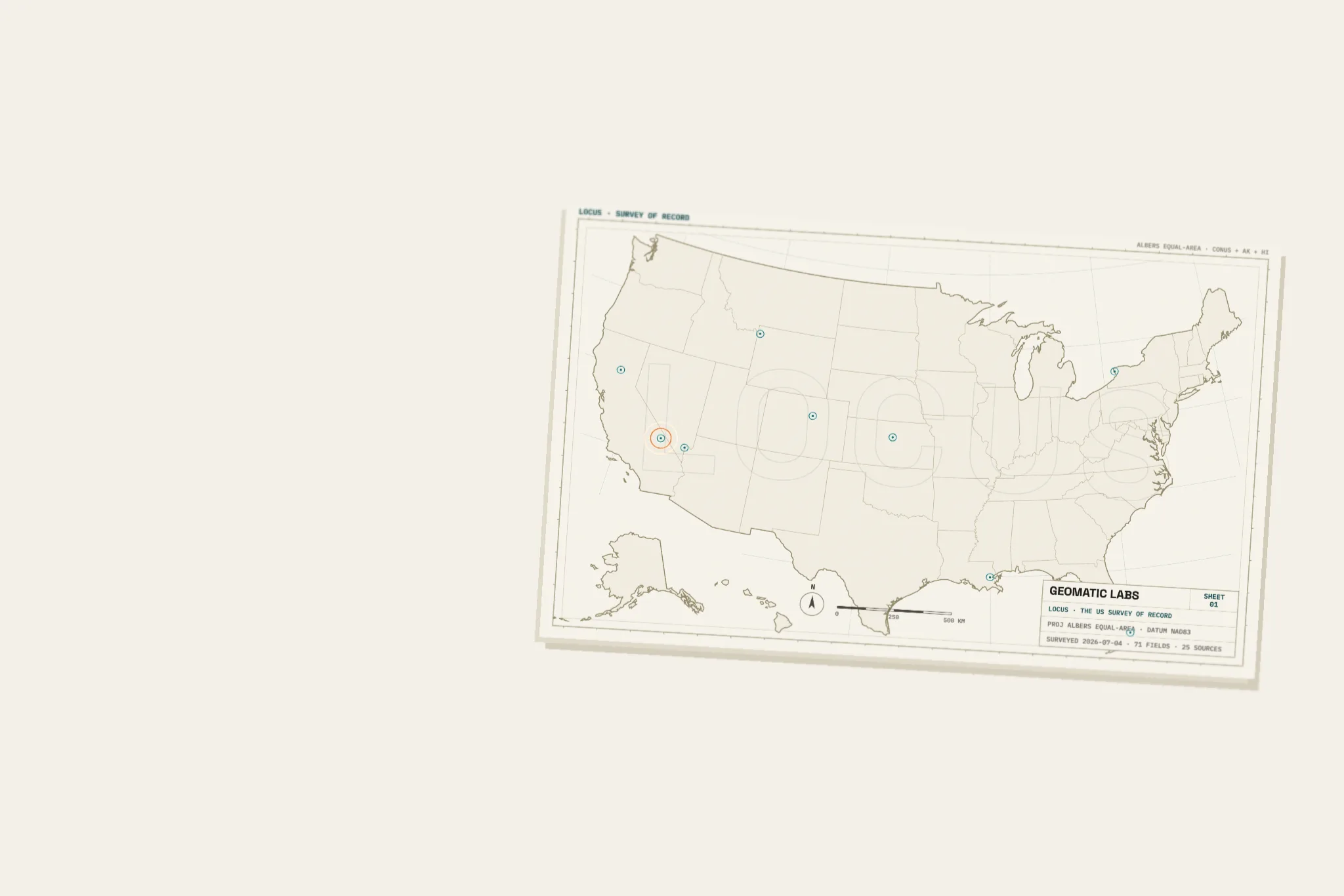
THE SHEET IS REAL — THE US SURVEY OF RECORD, AND BADWATER BASIN CARVED FROM THE USGS 3DEP HEIGHTFIELD LOCUS SERVES. SCROLL TO DIVE · EVERY ELEVATION IS REAL
REAL RESPONSES FROM · CAPTURED 2026-07-04 UTC · PICK A POINT
Other APIs return a value. Locus returns an envelope — the value plus everything you need to stand behind it in a memo, a model, or a diligence file.
…says who? As of when? How sure are we?
{ "value": -81.857, "unit": "meters", "source": "USGS_3DEP", "source_url": "https://epqs.nationalmap.gov/v1/json", "dataset_vintage": "5/1/2025", "fetched_at": "2026-07-04T04:49:59Z", "ttl_seconds": 31536000, "confidence": "high", "nullable": false, "null_meaning": null,}
−81.857. Every mapping API stops here — and no credit committee, regulator, or underwriter should accept it.
A named federal instrument — USGS 3DEP — and the exact endpoint we hit. An auditor can replay the query, not take our word.
Data ages. The envelope carries the survey's own date, the moment we fetched it, and how long it may be cached before it must be re-proven.
Confidence is computed in code and only ever calibrated down. And when a field is legitimately empty, you get null with a stated meaning — never a guess.
THE STANDARD OF PROOF“An LLM said so” is not good enough.
The model plans which fields to fetch — but citations are derived in code from what was actually fetched. It cannot cite what we didn't serve.
“We're evaluating a rebuild on this parcel. What are the wildfire and flood risks?”
Wildfire is the dominant hazard here. This parcel scores in the 95th percentile nationally[1] — a primary factor for construction planning, defensible space, and insurance.
Flood risk, by contrast, is low: FEMA Zone X, outside any Special Flood Hazard Area[2], with riverine flood risk in the 23rd percentile[1].
Sources are read off the returned envelopes after the fetch. The synthesizer writes prose; it never invents a reference.
If any input is stale, missing, or medium-confidence, the answer's confidence is calibrated down. It is never rounded up.
The planner chooses from 137 registered fields. Outside the registry, Locus says so instead of improvising.
Radius queries for exposure and adjacency. Batch fetch for up to 100 sites with per-site isolation — one slow parcel never sinks the run.
Real response. Dots are the actual plants at their true bearings · ● gas/other ● solar ● hydro/biomass
| Site | Suitability | Climate risk | Wildfire |
|---|---|---|---|
| Downtown Denver 39.7392, −104.9903 | 90 | 29 | 29 |
| Miami Beach 25.7907, −80.1300 | 52 | 96 | 69 |
| Paradise 39.7596, −121.6219 | 52 | 95 | 95 |
| Lower Ninth Ward 29.9614, −90.0136 | 49 | 91 | 0 |
Composite scores 0–100 with per-input breakdown and cited sources — opinions with the work shown. Real batch response, captured 2026-07-04.
Street address or bare lat/lng. Geocoding runs on the free US Census geocoder, and the resolution is echoed back for the audit trail.
"resolved_from": "1600 Pennsylvania Ave NW…"One adapter per source, fanned out in parallel with per-coordinate caching. A slow agency degrades one field, never the request.
Raw envelopes, transparent composite scores, or cited prose — every value carrying source, vintage, and confidence. Failures arrive labeled and retryable, never silent.
"partial_failures": [] · citations from codeFields are data, not code — each one declares its source, cadence, and null semantics in a registry the planner cannot step outside of.
curl -s https://app.geomaticlabs.com/v1/fetch \ -H "Authorization: Bearer lk_…" \ -d '{"lat": 36.2297, "lng": -116.7672, "fields": ["elevation", "flood_zone"]}'
"elevation": { "value": -81.857, "unit": "meters", "source": "USGS_3DEP", "dataset_vintage": "5/1/2025", "confidence": "high", … }
SSE on /v1/fetch/stream and /v1/ask/stream — fields paint the moment each federal source answers.
An MCP server with plus llms.txt — wire Locus into a workflow without scraping docs.
run with the network off; every adapter also carries a live-API test. Flaky federal endpoints degrade softly, never fatally.
Interactive docs at /docs, per-user lk_ API keys, honest rate limits.
Locus is in private beta with diligence, underwriting, and siting teams. Request access and we'll reply personally.
Already approved? Sign in Need to set your password?